Trip Planning for Southern Madison

as of 5:00 am
Today3″ | 15-25 SW
Jan 3 3″ | 15-30 SW
Jan 2 4″ | 15-26 W
9460′     01/04 at 19:00
15.1℉
NW - 13mph
Gusts 22 mph
9000′     01/04 at 18:00
16℉
54″ Depth
Primary Problem: Persistent Slab
Bottom Line: Dangerous avalanche conditions exist. Frequent snowfall over the last 2 weeks has built thick, heavy slabs of snow above weak layers that are now buried 2-4 feet deep. Human triggered avalanches are likely, and can be large enough to bury or injure a person, or possibly larger. Where snowfall is heavy this morning, which is expected in the mountains near Bozeman and Big Sky, the likelihood of triggering an avalanche will increase during the day, and natural avalanches are possible. Enjoy the new snow while staying on slopes less than 30 degrees, and away from flatter terrain below these steep slopes.

Past 5 Days

Tue Dec 31

Considerable
Wed Jan 1

Considerable
Thu Jan 2

Considerable
Fri Jan 3

Considerable
Today

Considerable

Relevant Avalanche Activity

Southern Madison
Other place
Whumpfs and Shooting Cracks in the S Madisons
Other place
Coordinates: 45.1247, -111.2690
Caught: 0 ; Buried: 0

We observed many large whumps and shooting cracks while headed up the meadows of Cinnamon mountain today, several of which were large enough to shake nearby saplings. These collapses were likely triggering on the recently buried layer of basal facets. Conditions included warm temps, light SW winds, overcast to obscured cloud cover, and S-1 to S1 precip including steady graupel. Nothing particularly surprising considering the conditions in nearby areas, and we chose to keep our terrain choices conservative.


More Avalanche Details
Southern Madison
Cabin Creek
Hwy 191 Avalanche 3-Jan-25
Incident details include images
Cabin Creek
SS-AV-R4-D1-O
Elevation: 7,000
Aspect: E
Coordinates: 44.8320, -111.0780
Caught: 0 ; Buried: 0

Small slopes at low elevations were avalanching including some along Hwy 191 in YNP. It's always a bad sign when road cuts are avalanching. .


More Avalanche Details
Southern Madison
Cabin Creek
Small cut bank slide Teepee Creek Trail
Incident details include images
Incident details contain video
Cabin Creek
SS-AM
Elevation: 8,200
Aspect: S
Coordinates: 44.8528, -111.1660
Caught: 0 ; Buried: 0

Small slopes at low elevations were avalanching including some along Hwy 191 in YNP. It's always a bad sign when road cuts are avalanching. 


More Avalanche Details

Relevant Photos

Displaying 1 - 28

WebCams


Raynolds Pass, Looking N

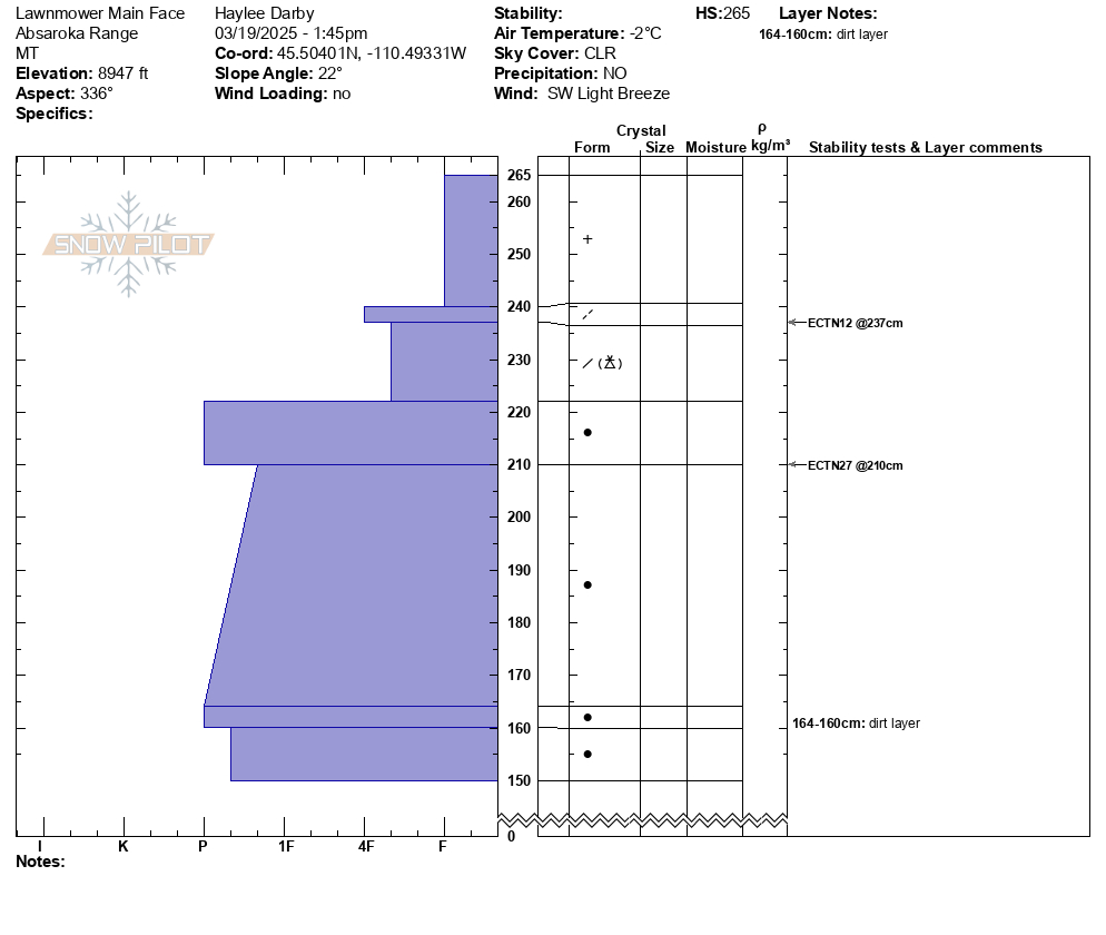
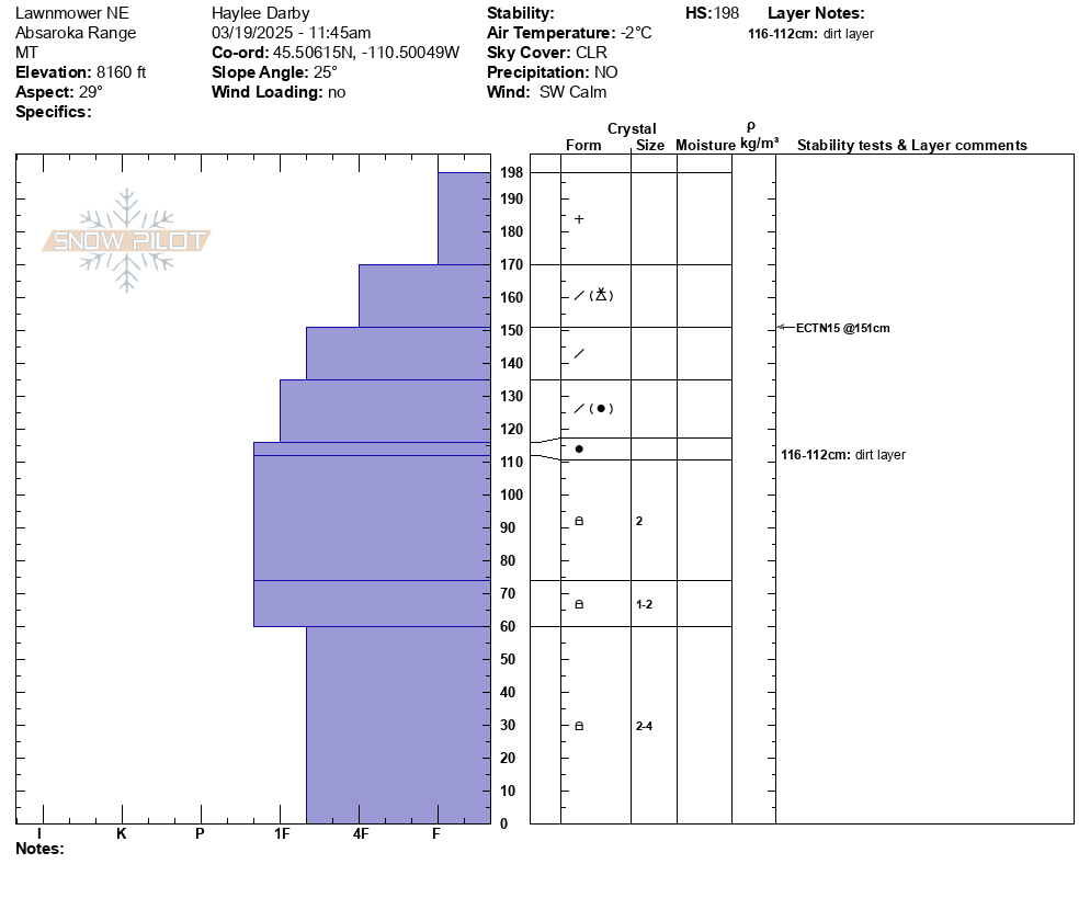
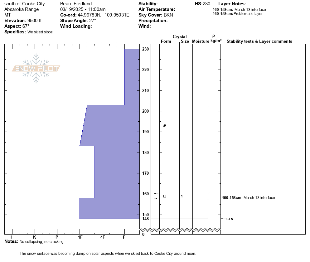
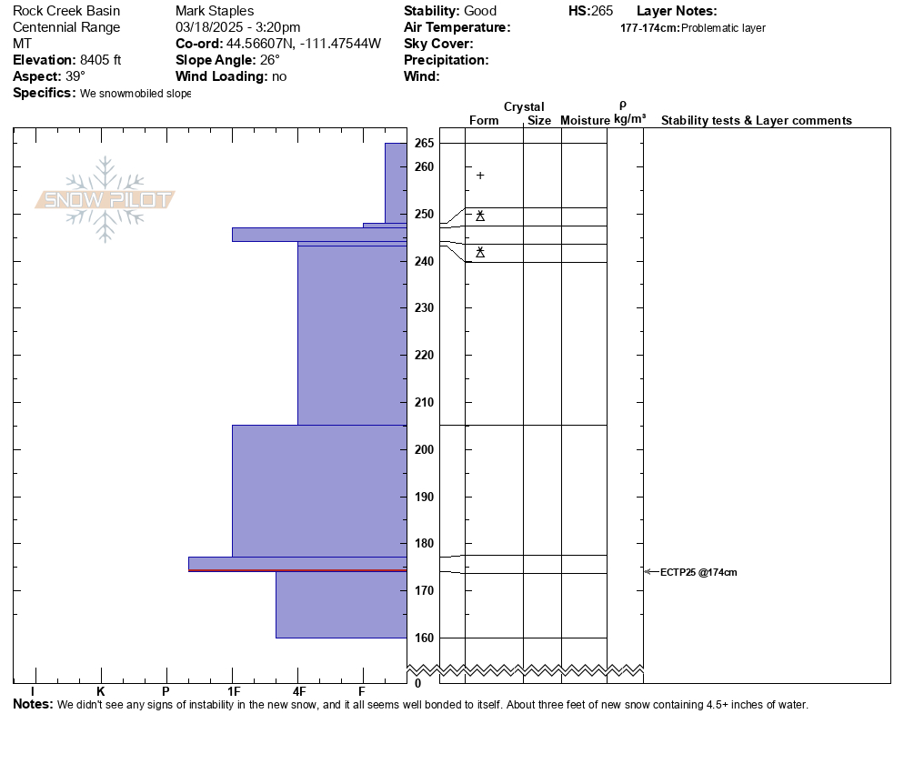
Snowpit Profiles- Southern Madison


Select a snowpit on the map to view the profile image

Weather Forecast Southern Madison

Extended Forecast for

20 Miles S Big Sky MT

Winter Weather Advisory January 5, 05:00am until January 6, 11:00amClick here for hazard details and duration Winter Weather Advisory
  • Tonight

    Tonight: A 30 percent chance of snow, mainly before 8pm.  Mostly cloudy, with a low around 9. Wind chill values as low as -5. Northwest wind 8 to 11 mph becoming southwest after midnight. Winds could gust as high as 18 mph.  Total nighttime snow accumulation of less than a half inch possible.

    Low: 9 °F

    Chance Snow
    then Mostly
    Cloudy

  • Sunday

    Sunday: Snow likely, mainly after noon.  Mostly cloudy, with a high near 18. Wind chill values as low as -5. Southwest wind around 10 mph.  Chance of precipitation is 60%. New snow accumulation of less than one inch possible.

    High: 18 °F

    Snow Likely

  • Sunday Night

    Sunday Night: Snow likely, mainly before 11pm.  Mostly cloudy, with a low around 14. West southwest wind around 8 mph.  Chance of precipitation is 60%. New snow accumulation of less than a half inch possible.

    Low: 14 °F

    Snow Likely

  • Monday

    Monday: A 50 percent chance of snow.  Mostly cloudy, with a high near 21. South southwest wind around 7 mph becoming west northwest in the afternoon.  New snow accumulation of less than a half inch possible.

    High: 21 °F

    Chance Snow

  • Monday Night

    Monday Night: A 40 percent chance of snow, mainly before 11pm.  Mostly cloudy, with a low around 9. North wind around 10 mph.  New snow accumulation of less than a half inch possible.

    Low: 9 °F

    Chance Snow

  • Tuesday

    Tuesday: Mostly sunny, with a high near 18. North wind 7 to 11 mph.

    High: 18 °F

    Mostly Sunny

  • Tuesday Night

    Tuesday Night: Mostly clear, with a low around 5. Northwest wind around 7 mph becoming south after midnight.

    Low: 5 °F

    Mostly Clear

  • Wednesday

    Wednesday: A chance of snow after 11am.  Mostly sunny, with a high near 19. South wind around 10 mph.

    High: 19 °F

    Chance Snow

  • Wednesday Night

    Wednesday Night: A chance of snow, mainly before 11pm.  Partly cloudy, with a low around 9.

    Low: 9 °F

    Chance Snow

The Last Word

There were two recent avalanche deaths in Utah involving solo travelers. One on Saturday but recovered on Tuesday (initial report), and a splitboarder traveling solo on Tuesday (initial report). Traveling alone in avalanche terrain carries significant additional risks.

01 / 3 / 25  <<  
 
this forecast
 
  >>  This is the most recent forecast.