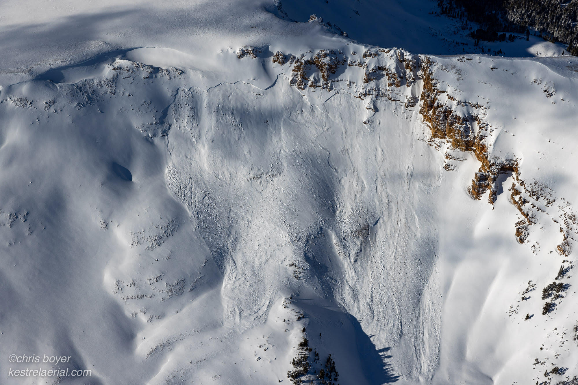
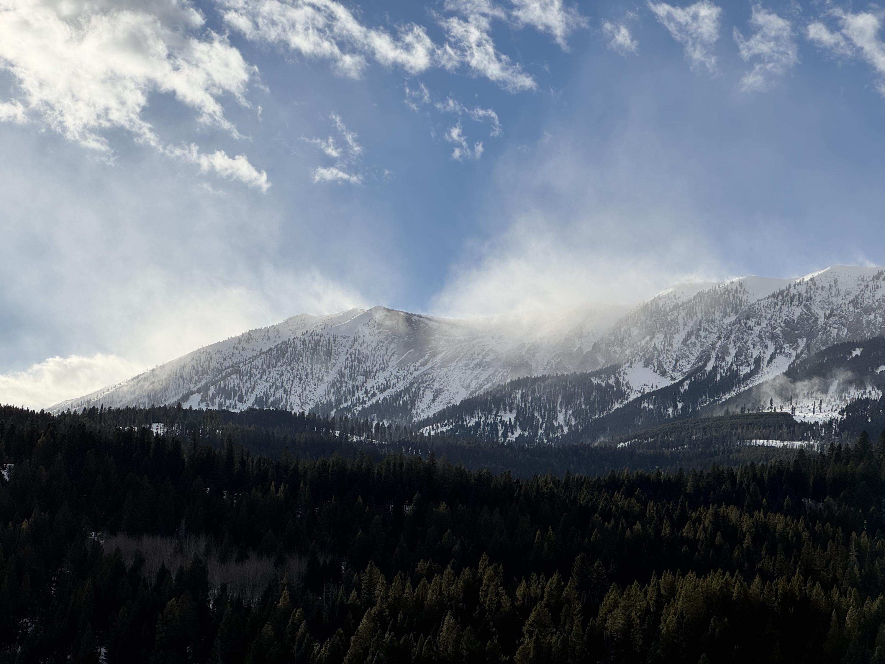
Natural avalanche spotted from the air on Red Mountain, just west of Ernest Miller Ridge
Trip Planning for Southern Gallatin

Primary Problem: Persistent Slab
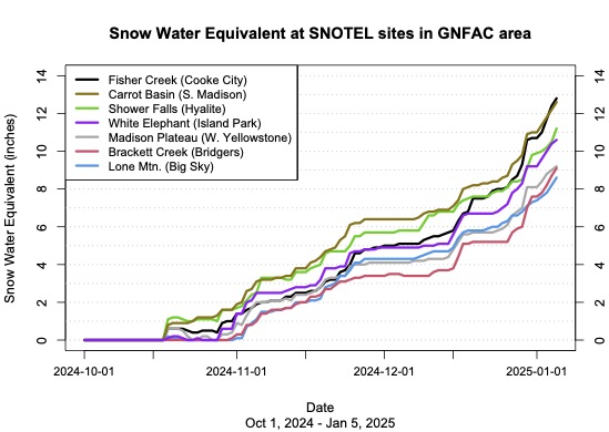
Bottom Line: Persistent Slab avalanches remain the primary concern. Stay alert at lower elevations, as many of these slides are happening on mid elevation slopes with trees around. Wind Slab avalanches are a more isolated concern, but keep your eye out for drifts that haven’t bonded yet. Avalanche conditions remain dangerous.Past 5 Days
Tue Feb 18

Considerable
Considerable
Wed Feb 19
Considerable
Considerable
Thu Feb 20
Considerable
Considerable
Fri Feb 21
Considerable
Considerable
Sat Feb 22
Considerable
Considerable
Relevant Photos
Displaying 1 - 20
-

-

-

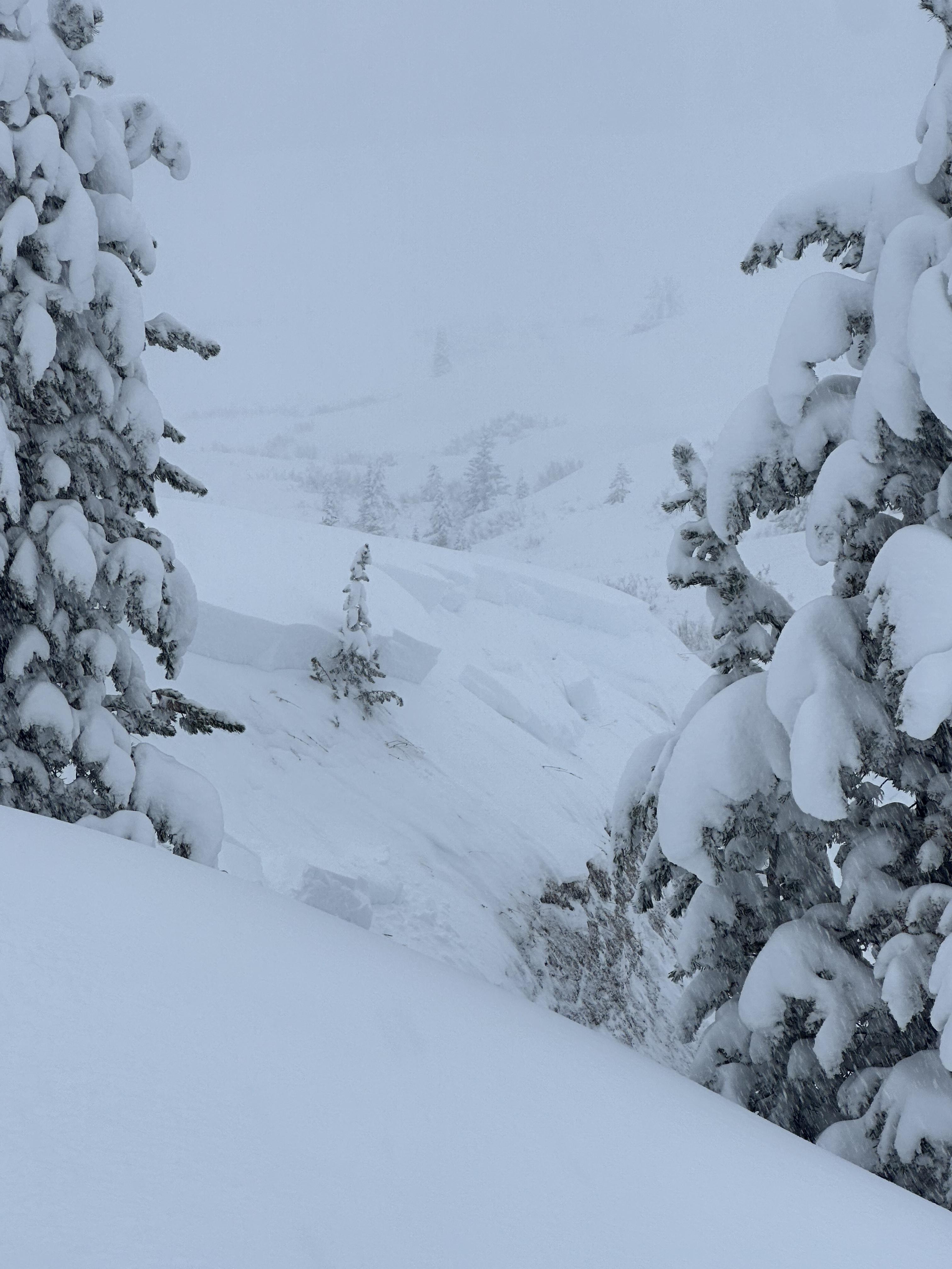
We experienced a remarkable number of thunderous collapses throughout the day (I lost count), one of which triggered an avalanche into Specimen Creek while we were in the flats. Photo: R Parsons
-

From obs on 12/29: "On our way out near the cabin I cut a line close to a creek to see if I could trigger something."
-

From obs on 12/29: "On our way out near the cabin I cut a line close to a creek to see if I could trigger something."
-

Plumes of drifting snow in the Bridger Range as strong winds blasted the mountains. Photo: GNFAC
-

From IG: On 12/15 "Storm slab broke about 200’ above us as skinning up the hallway coming from the north side on the throne." Photo: Anonymous
-

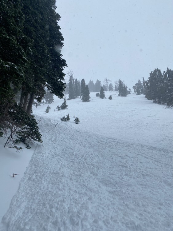
Gusty winds transporting snow in Taylor Fork on Saturday. Triggered a 4-5 inch deep wind slab that propagated about 50 ft at the top of a north east facing slope at 9,500 ft.
Photo: JP
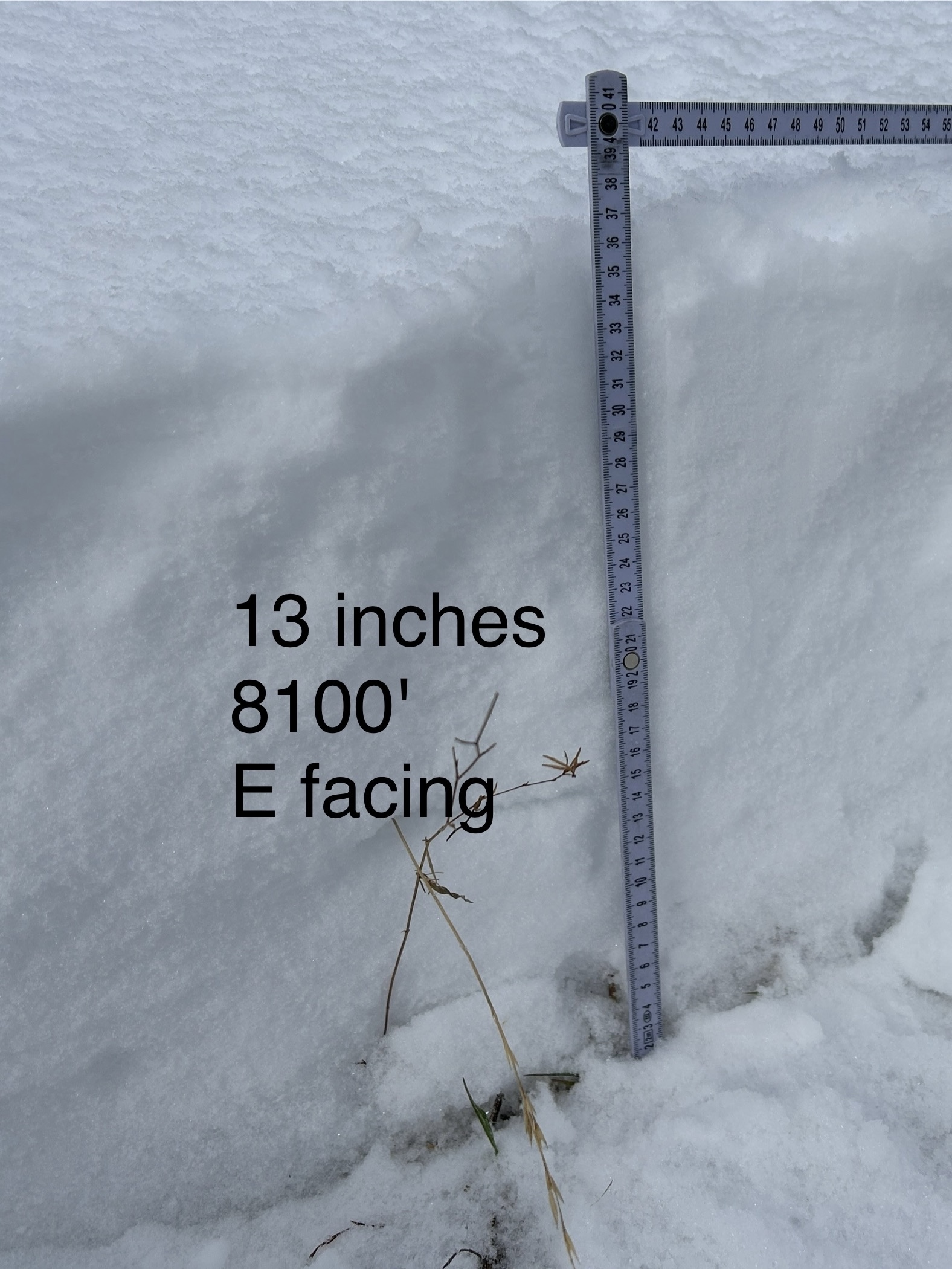
-

WE facing snow at 8100 ft Cabin Ck
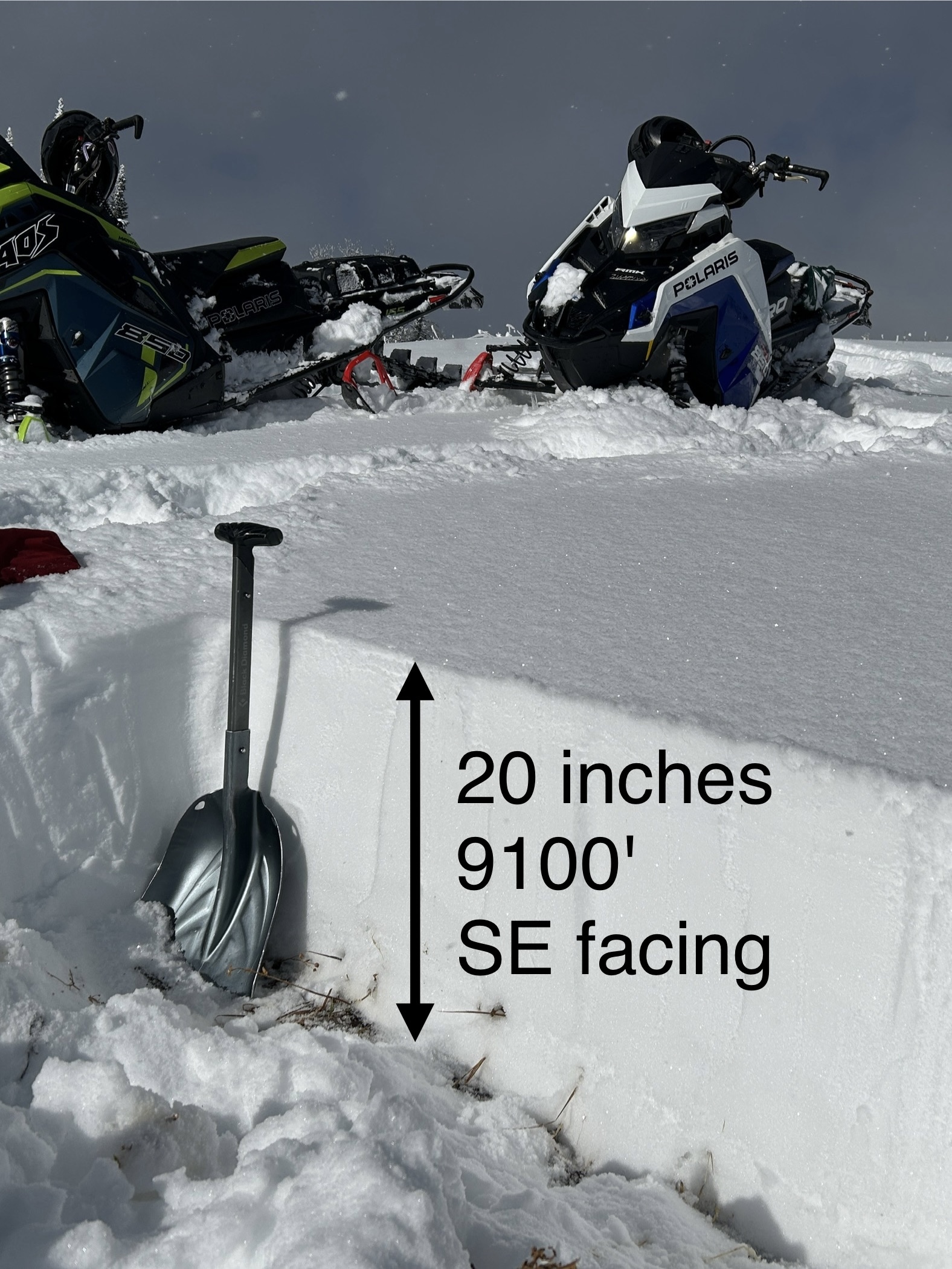
-

SE facing snow Cabin Creek
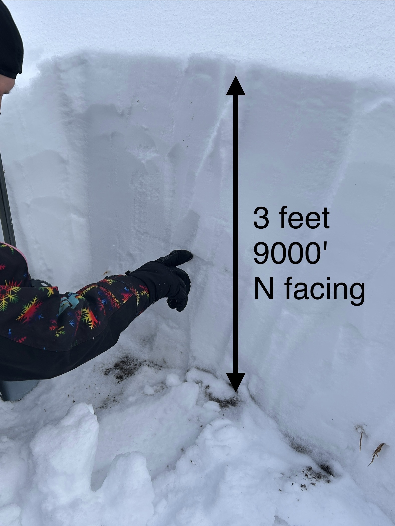
-

N facing snow Cabin Creek, 9000 ft
-

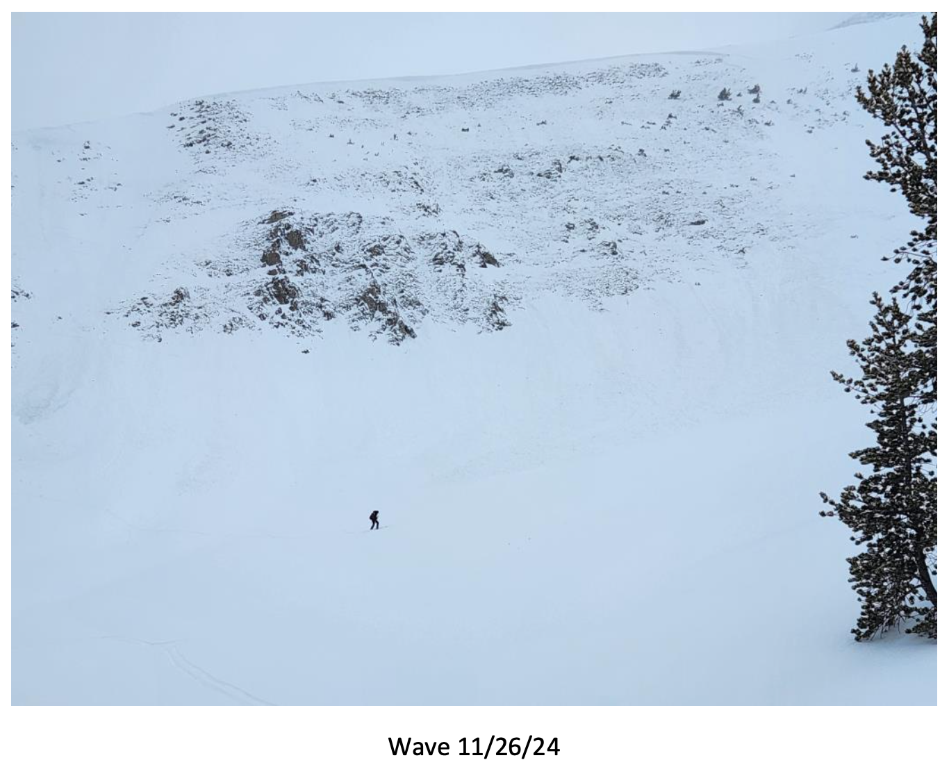
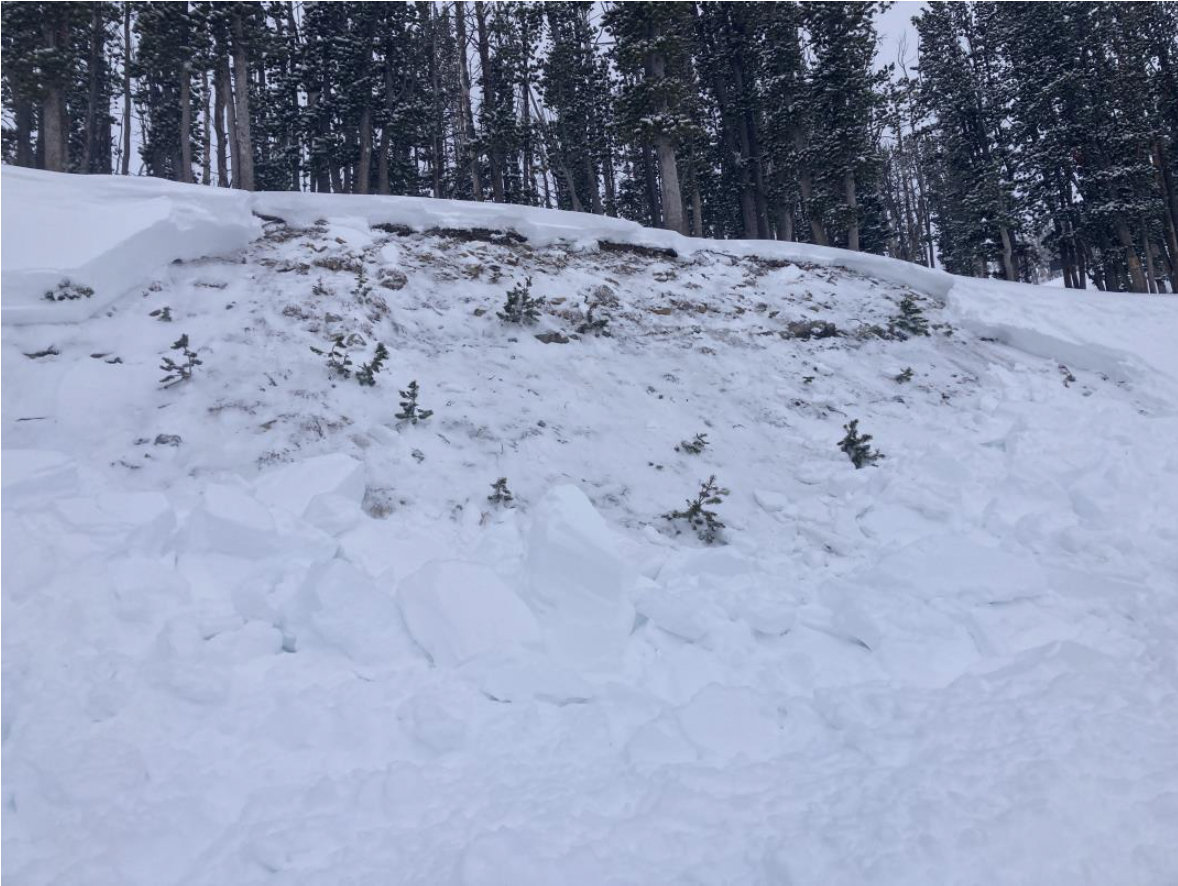
Big Sky Ski Patrol triggered this avalanche during mitigation work in The Wave on 11/26/24... "2-3' deep on an ice crust just above the ground with a 2# shot in the Upper rodeo. Volume was limited as most of the snow was loaded just underneath the cornice, but still produced a sizeable size 2... Other paths in the Lenin region ran meaty wind slabs, full track with no significant step downs." Photo: BSSP
-

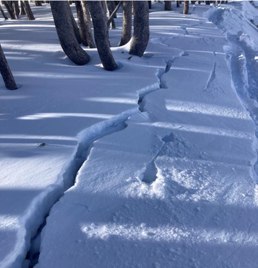
Cracking on old, faceted, October snow hundreds of feet long. North facing near treeline. Photo: BSSP
-

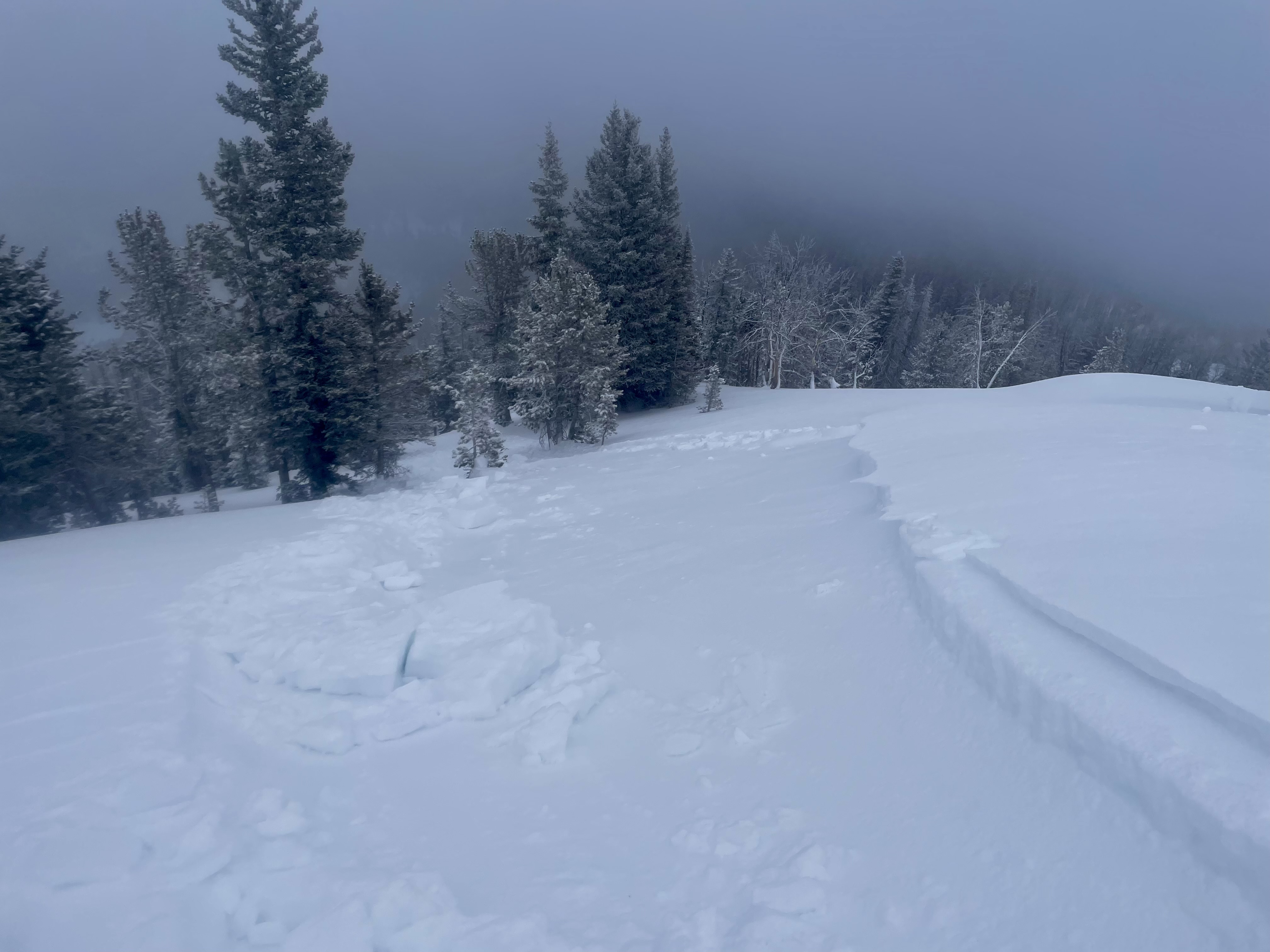
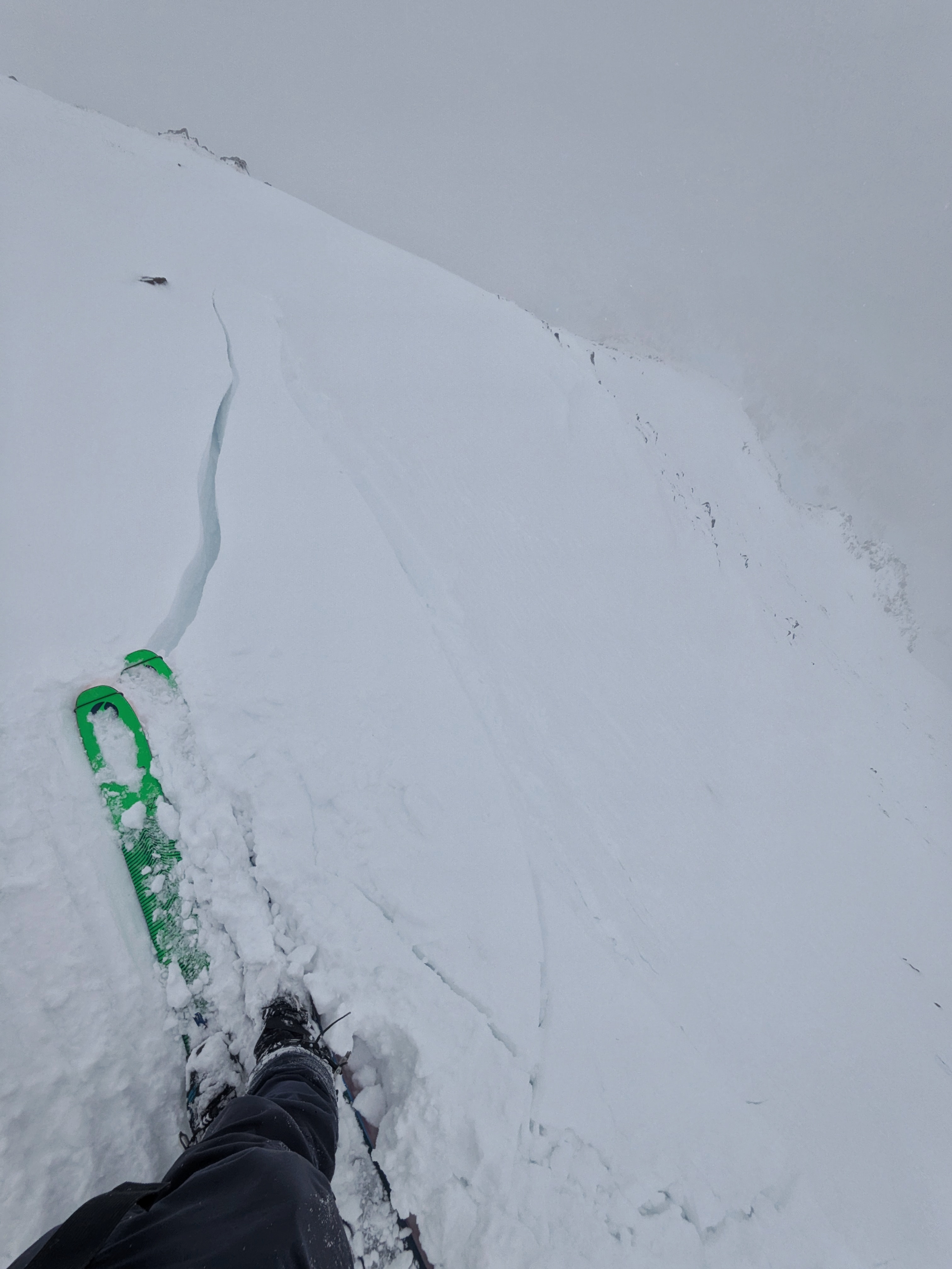
Intentional, human-triggered avalanche by a ski patrol breaking at the ground on a north facing slope near treeline. Photo: BSSP
-

Snowpit at Bridger Bowl on 11/5. Photo: B. VandenBos
-

From e-mail: "Photo attached from near top of hyalite peak, 11/2. Cracking in recent hard wind slab, I had to really jump hard to make this. Walked on many other hard slabs that were well bonded. Highly variable snowpack. I think you'd be most likely to get into trouble by popping out a small hard slab pocket like this and getting magic carpeted into some thinly covered terrain." Photo: B. VandenBos
-

From obs: "1-3 mm faceting in front of the Montage. Clear skys and mid 20 temps"
-

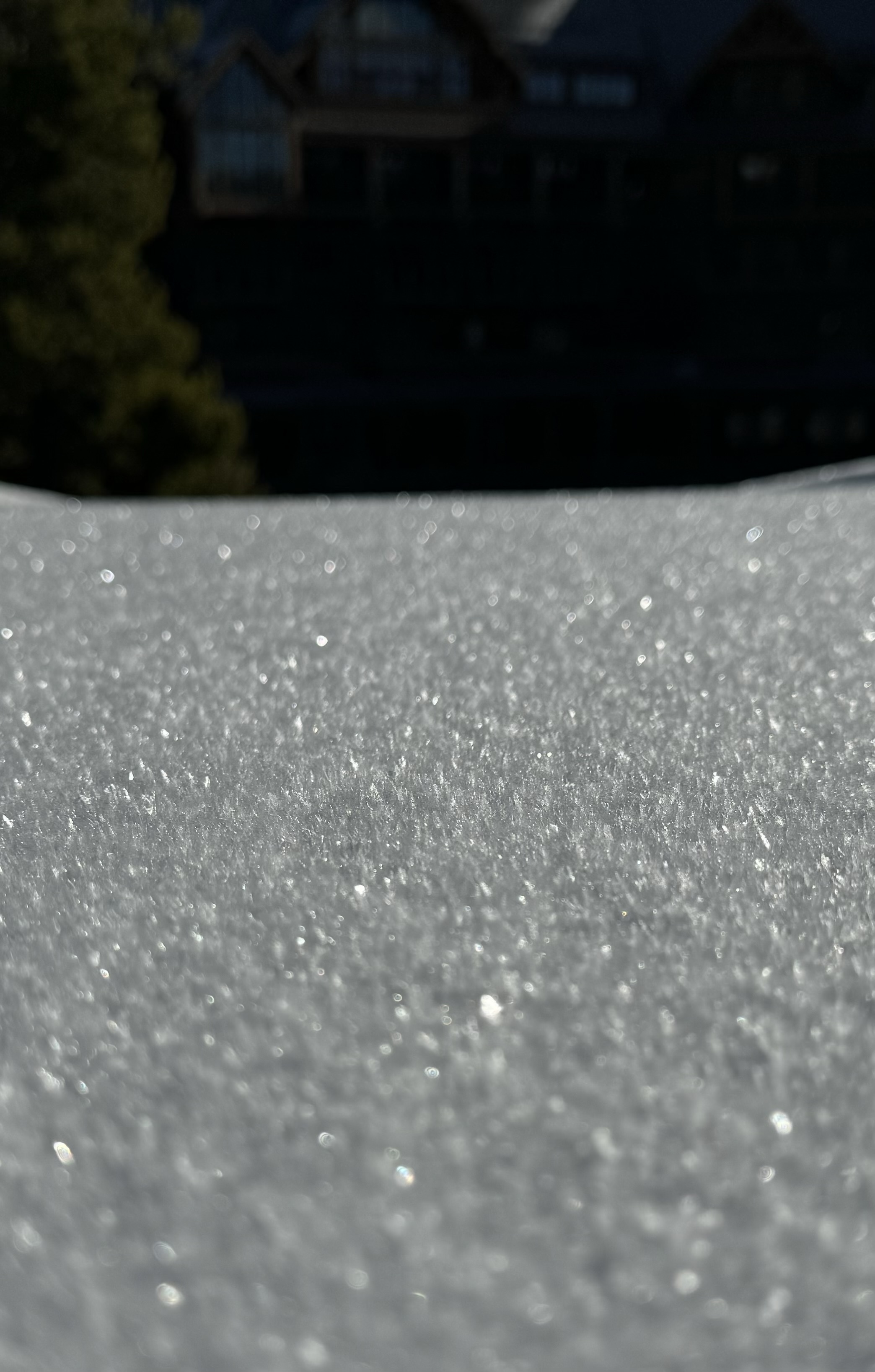
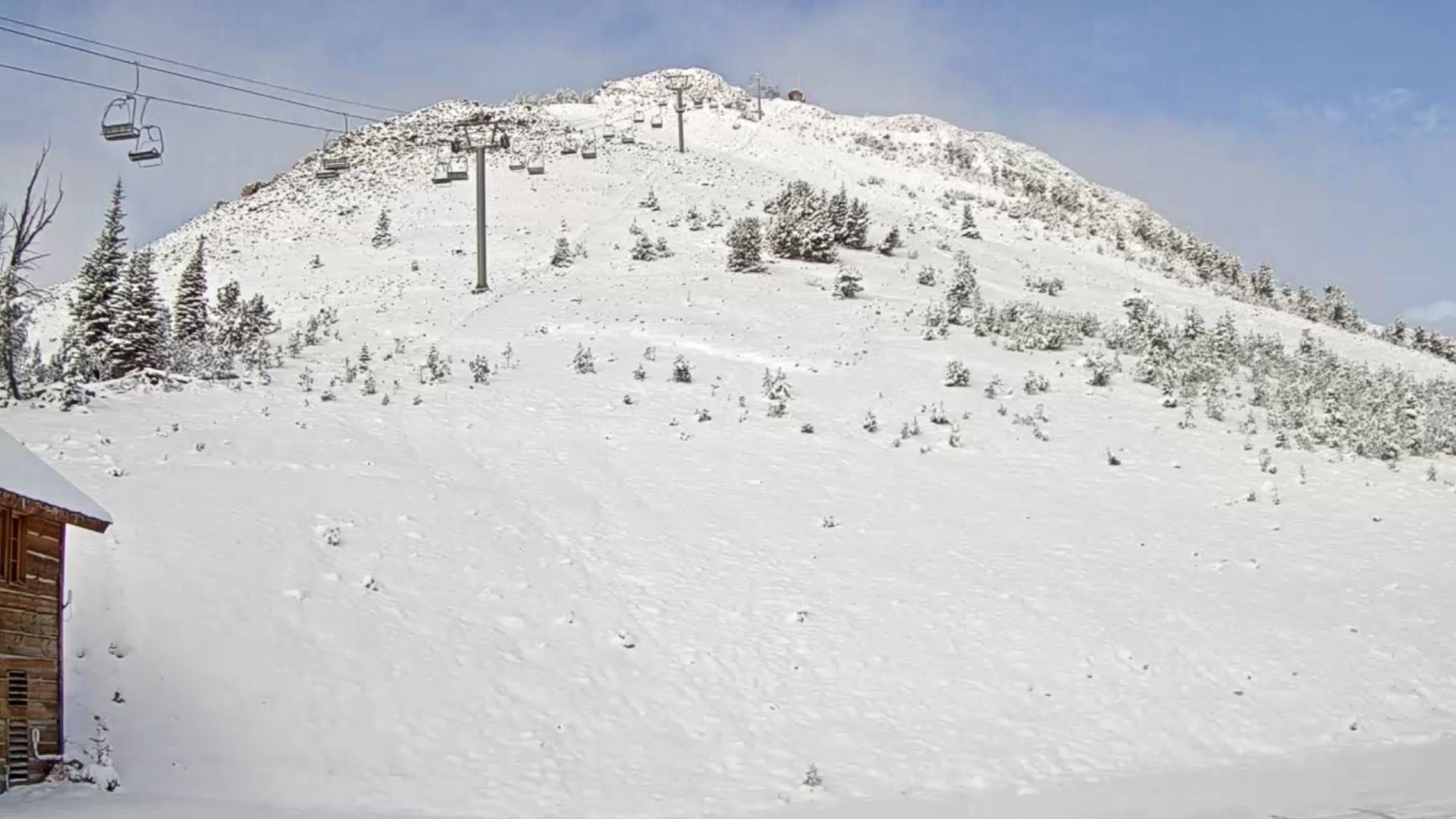
On October 17, rain turned to snow and blanketed the mountains of southwest Montana with a fresh coat of snow. Photo: Yellowstone Club Webcam
-

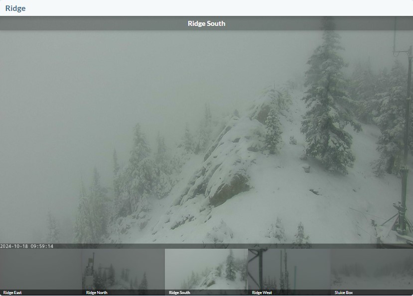
On October 17, rain turned to snow and blanketed the mountains of southwest Montana with a fresh coat of snow. Photo: Bridger Bowl Webcams
-

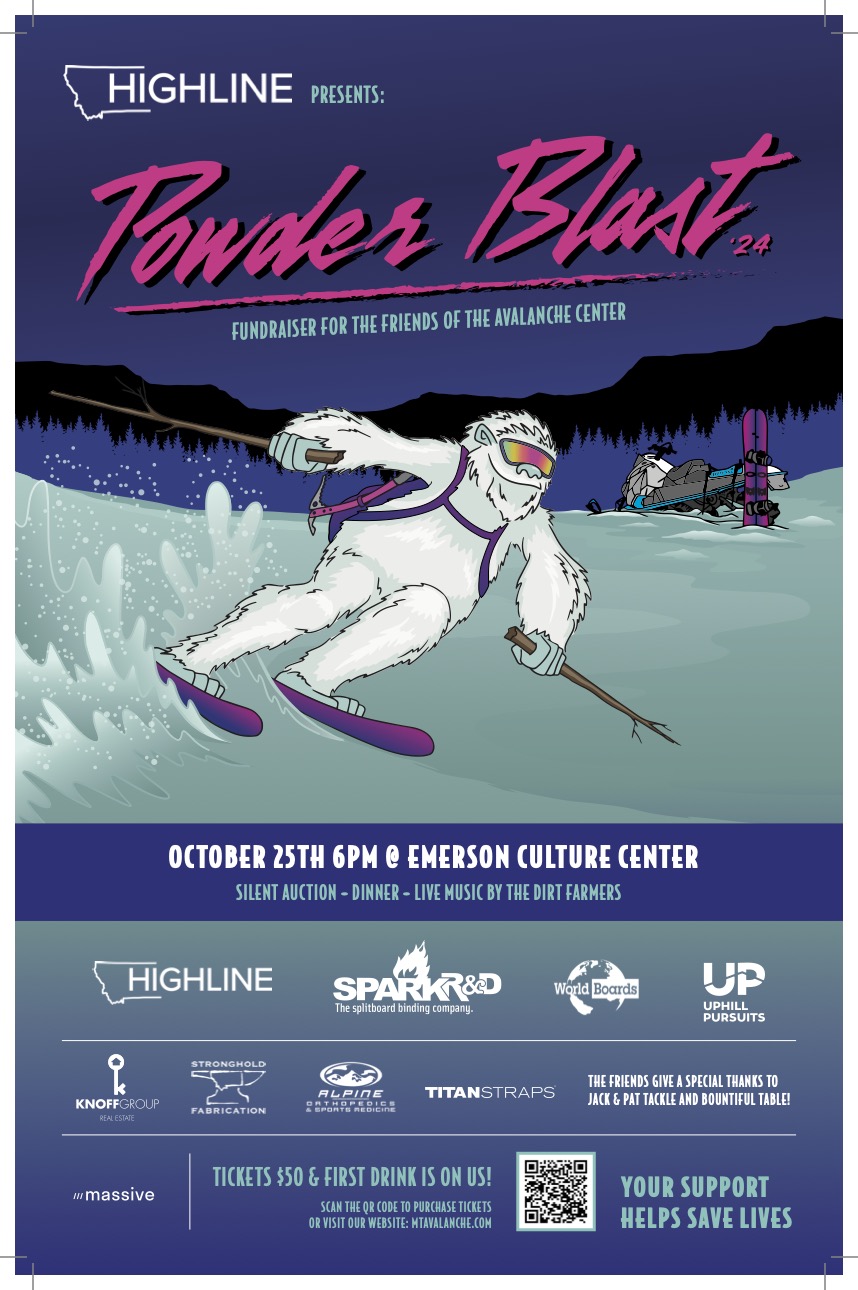
The 26th annual fundraiser for the Friends of the GNFAC is October 25 at the Emerson Cultural Center. More info and tickets at: https://events.eventgroove.com/event/Powder-Blast-2024-101627
Videos- Southern Gallatin
WebCams
Electric Peak
Roosevelt Arch


Weather Stations- Southern Gallatin
Weather Forecast Southern Gallatin
Extended Forecast for17 Miles SE Big Sky MT
Winter Weather Advisory February 23, 11:00am until February 24, 11:00amClick here for hazard details and duration Winter Weather AdvisoryOvernight

Low: 20 °F
Mostly Cloudy
and BreezySunday
High: 32 °F
Breezy.
Scattered
Snow Showers
then Snow
Showers
LikelySunday Night

Low: 29 °F
Snow Showers
Likely and
BreezyMonday

High: 37 °F
Scattered
Snow Showers
and BreezyMonday Night

Low: 25 °F
Snow Showers
Likely and
BreezyTuesday

High: 29 °F
Snow Showers
and BreezyTuesday Night
Low: 15 °F
Chance Snow
Showers then
Partly CloudyWednesday

High: 33 °F
Mostly Sunny
Wednesday Night

Low: 17 °F
Partly Cloudy